Field Work Wars

Field Work Episode I: The Weather Strikes Back


by Emma Pearce, PhD student at The University of Leeds


The Weather Strikes Back

For those of you who have seen Star Wars Episode V, the Empire Strikes Back, you might recognise Hardagerjøkulen (Hardanger) ice cap as the sixth planet in the remote solar system, planet Hoth. You may also be familiar with Hardanger as part of the region where trolls are confined to, as documented in ‘The Troll Hunter’, an excellent, factual, documentary, and well worth a watch. But when the ice cap isn’t being overrun by AT-AT Walkers (see the photo below if you’re not too clued up on your Star Wars knowledge!) or Trolls, Hardanger is home to the sixth-largest glacier in mainland Norway which can be easily accessed by Finse railway station, where a direct train runs from Bergen.


Other than Hardanger’s historical importance in Star Wars, there are other reasons that someone might choose to go there. For myself, those reasons constituted a few things:

1. I needed to test out a specific type of glacier geophysical seismic acquisition as part of my PhD.

2. Hardangerjøkulen’s research station is supported by the EU Interact funding scheme, meaning I could apply for funding to visit it.

3. There is Firn on the ice cap (a feature that forms where snow becomes denser and turns into ice) – the thing that I was wanting to study using geophysics.

Mobirise

A beautiful day at Finse, Norway

These three reasons combined meant not only was I able to apply for funding to support my trip to Norway, (a BIG thank you to EU Interact) it also meant, due to the accessibility of the glacier (in comparison to perhaps… Antarctica), the logistics of testing a geophysical survey that might not work were relatively easy.

The plan was to have two field seasons out in Norway, the first in 2018, where I would scope out the best places on the ice cap for my research where there was known firn coverage, and do some test surveys, and the second a year later in 2019, where I would collect my final dataset.  

Season 1, 2018:

We packed up all our equipment in the UK and got it sent by cargo ferry to Norway. Here we picked it up and then had to attempt to ‘sneak’ the equipment onto the national Norwegian passenger train.

Luckily for us, we had a few locals travelling with us up to Finse, who was able to help us sweet talk the conductors and fortunately, our five, 70kg boxes were allowed onto the train, but they did get a few funny looks.

Once we arrived at Finse, transportation of the equipment became a bit easier, we could just pop all the cargo (including PhD students!) into the sledges, and skidoo ourselves around. It was April when we visited Hardanger, the perfect time between the winter’s high winds and thick snow, and the springs higher temperatures and snowmelt. The end of April provides a sweet spot, where there is enough snow that you’re still able to skidoo around the glacier, but the weather is much calmer, allowing for the geophysical surveys to be carried out in the optimum conditions.

Once we arrived at the station, we had two weeks to collect all the data we hoped for (two seismic surveys and some GPR over the ice cap).

Of course, this all went perfectly to plan, we were done by the first week, and then had a week to relax, enjoy the scenery, and get some sledging in…. or.. not.

Mobirise

The equiment

Season 2, 2019: 

We were heading back to Hardanger in April 2019, only this year with more equipment (we were going to drill a borehole on the top of the glacier!), more data aims, more time, and more people! We had aimed for the same time of year as it had worked well for us the year before. We packed up the equipment, snuck it onto the train in Bergen (well.. this year we had to pay for ‘bike storage’) and headed to Finse. It was at this point we started to worry a little as we looked out the train window, we were seeing a lot of green and a lot of water, but fortunately no trolls.

With the warm weather at the front of our minds, the lake which we had to cross to get to the glacier was melting more and more each day, and the warm weather meaning our route to the ice cap was becoming more rocky and grassy rather than snow, time was of the essence. To add to this, there was a fuel shortage on station as the early arrival of spring had prevented more fuel being transported to the research station, meaning every trip in the skidoo needed to be as efficient as possible. We sat down, and on the big blackboard in the research station, planned out the bare minimum that all three teams at the station would need in order to get the data they were after.

It seemed that this year, although the sun gods were VERY much on our side (quite possibly too much), the skidoo gods were not.

Mobirise

Warm and sunny weather in Norwegian mountains

That afternoon we headed out to the bottom of the ice cap to drop off equipment. It was at this point we learnt that the soft slushy snow meant the amount of weight we could have in the sledges was greatly reduced. After getting stuck in a slushy/icey mix, we realised we were going to have to shuttle equipment and people back and forth in a logistical dance. Ensuring we didn’t waste fuel, didn’t break through the lake ice, and thanks to the appearance of the rocks, having to take a new route to get to the foot of the glacier each time we headed out.

Even though we were at the station for almost 3 weeks this time, I only needed a minimum of two sunny (but cold) days to get the data I needed from the ice cap, and whilst keeping an eye on the weather every day, waiting for the cold, (yet sunny) spell to hit, on day 7, they arrived.

With the sledge packed as light as possible, and some ferrying of equipment and people done (and only one very stuck skidoo hiccup later), using the GPS coordinates from the previous year, we got back to my field site. At this point, we hit the ground running, and got to surveying. The plan for day one on the ice cap was to shoot a seismic line in the same position as the previous year, but with the geophones closer together, and a larger coverage of data. With the help from the other team members, setting up the seismic line was quick going, and the acquisition went smoothly, once again with Adam at the seismic source, (fortunately less hammer shots than the year before), and myself on the laptop.

Mobirise

Drilling the ice cap

At the same time, we had the other team members sorting out the borehole. It sounded as though this was all going well, until a loud ‘CRAP’ spilled out across the top of the otherwise quiet ice cap. It quickly surfaced that the sound had been Bryn Hubbard, as we looked across to him with a broken drill in hand and a borehole stuck 2m deep in the snow. This didn’t mean the end for the borehole, only that we had to adjust our aims for the depth as we would be hand drilling the hole, and that we had to do a little bit of digging to recover the end of the borehole. Although time-consuming, digging out the borehole meant we had a snow pit in the firn, allowing us to get a close up look at the density variations in the top 2m of the site, (we were also able to use the blocks of snow dug out to make a really great igloo, but that’s beyond the point!)

With our original aim of 30m deep scaled back to 10m, we spent the rest of the day taking shifts at hand drilling into the ice, we reached a depth of 11m, and called it a success! With a few bits of glacier ice collected to take home to have in some gin and tonics, we were all very happy with what we had achieved that day, (I can promise you, gin and tonic tastes even better when accompanied by ice cubes you drilled yourself). With a bit more resilience than we previously had, some successful data acquisition, and the optimism of another sunny but cold day, we were all excited for the following day.

Mobirise

Image Description

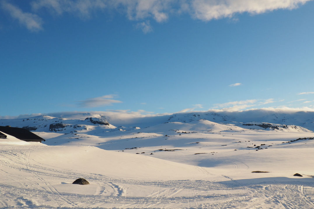
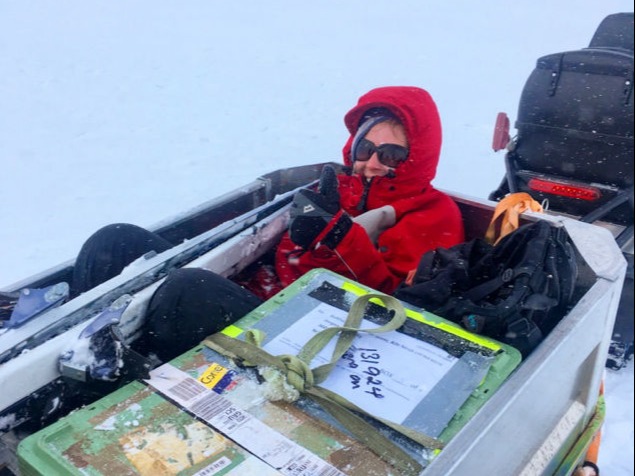
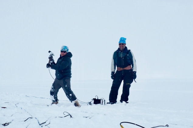
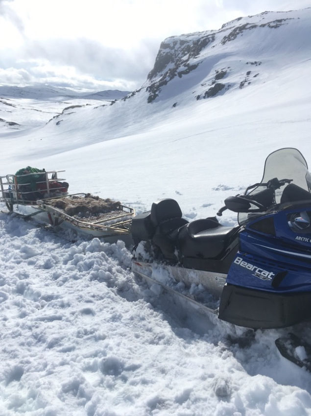
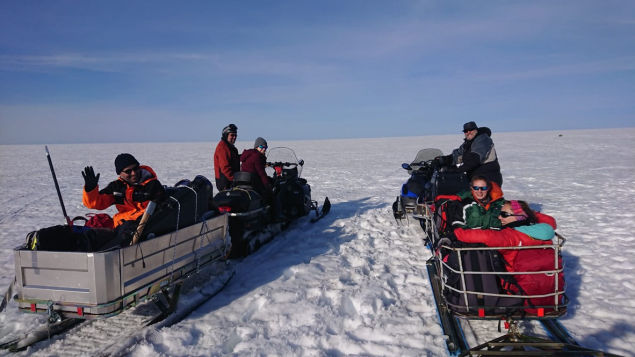
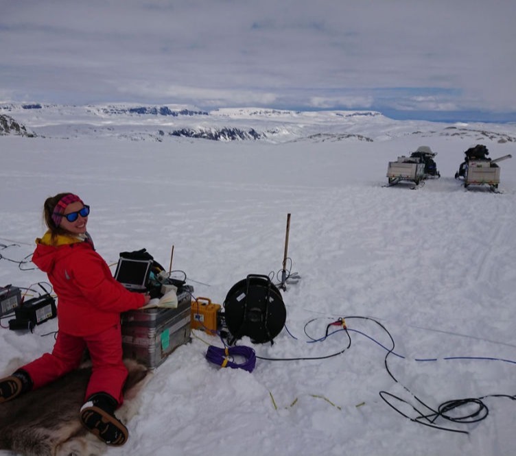
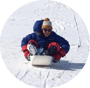
With our good data day behind us, the next day was a quicker start, with all the equipment already on the ice cap we just had to get up there and shoot the downhole seismic. The weather wasn’t as nice as we’d anticipated, but as it had stayed cold, it was safe to get to the ice cap. Once there, it was just a case of laying out our geophones around the borehole and using our downhole seismic source to acquire the data. Remarkably, for the first time in two field seasons, everything, went smoothly and to plan! With spirits high, and a few more bits of ice collected, we headed off the ice cap in a few ferried shifts, taking the equipment back to base, and took a deep sigh of relief. Two years of planning for data acquisition had all come together! The rest of the week saw the warm weather return, meaning the route to the glacier became near on impossible to traverse, unless the skidoo had suddenly grown wheels to get over all the newly appearing boulders. Meaning we were limited with what we could do, but sledging on station was always an option.

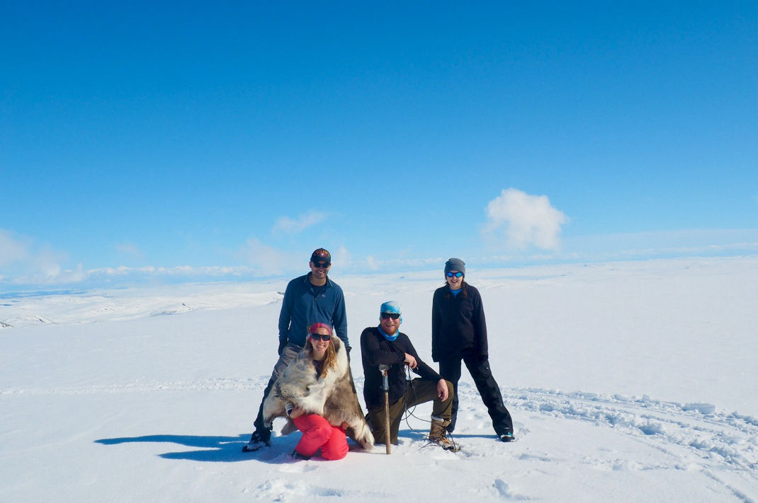
It’s clear to see from two fieldwork trips to Norway, that even with the best intentions of planning, things don’t often go the way you expect! None the less, I had two fantastic field seasons, with great company, amazing food, and a few awesome datasets collected!

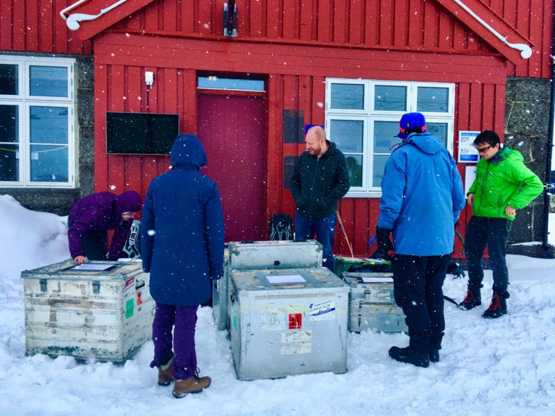
I want to say the biggest thank you to everyone who has helped over my two field seasons, most notably Adam Booth for being the power behind the seismic sledgehammer. A big thank you also to Siobhan and James Killingbeck, Hannah Watts, Benedict Reinardy for their help with acquiring the seismic line. Bryn Hubbard and Katie Miles, for their help with drilling the borehole. And Kjell Magner for his logistical help on the icecap, meaning we didn’t end up in a crevasse. And of course, the biggest thank you to Marits, for all the amazing food she cooked to keep us sustained each day! And finally, thank you to the INTERACT team for funding this fieldwork.  

Share this Page!

Mobirise
Emma Pearce
PhD student

To come

Built with Mobirise ‌

Free Web Site Designing Software